Drone Surveying
Why Survey With Drones (UAS)
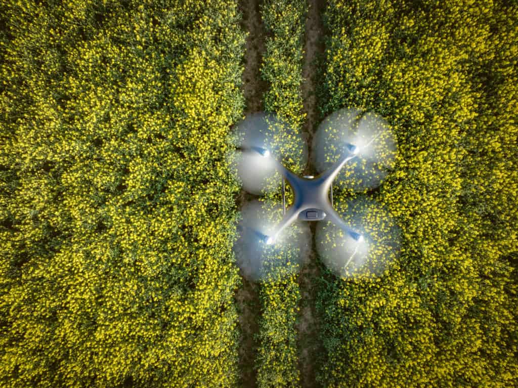
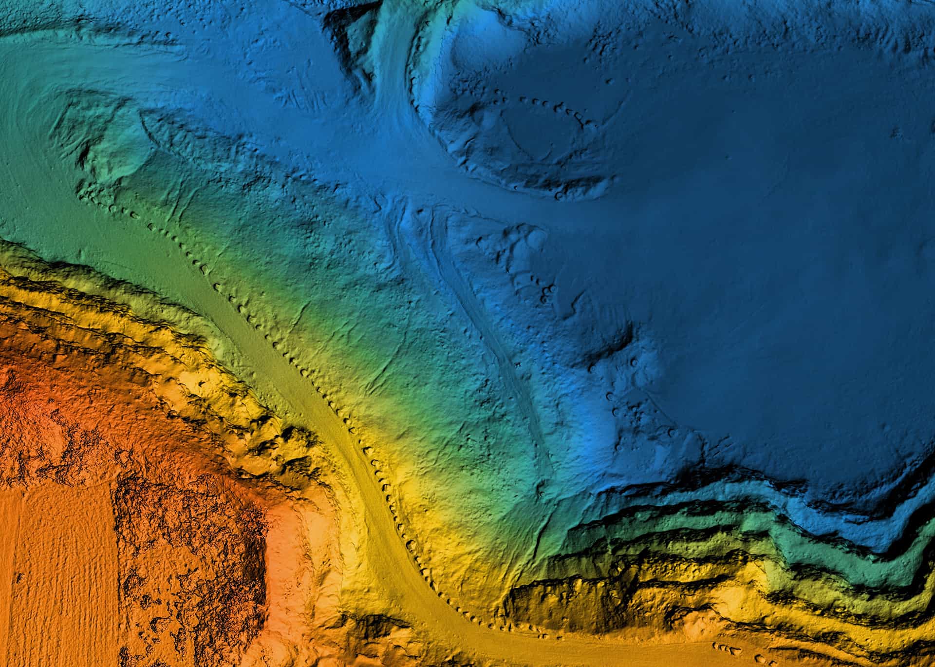
Drone Surveying is a land surveying method that uses an unmanned aerial vehicle, or drone, to collect data. The drone is outfitted with sensors and cameras that capture images of the surveyed area. These images can then be used to create a map or 3D model of the land. Drone Surveying is a fast and efficient way to collect data, and it can be used for a variety of applications, including land surveying, engineering, and construction.
Drone Surveying can solve many of the problems encountered with traditional land surveying. For example, it can be used to survey inaccessible or dangerous areas, to survey large areas quickly and efficiently, or to get a closer look at difficult to reach features. Additionally, drone surveying can often produce more accurate results than traditional surveying methods.

Drones Help Capture Data Faster and More Accurately Than Ever Before
Land Surveying Incorporated offers drone surveying services to help their clients capture data in a more efficient and affordable way. The use of drones for surveying has increased in popularity in recent years due to the many advantages they offer. Some of the benefits of using a drone for surveying include:
- Increased accuracy – Drones offer a much higher degree of accuracy than traditional survey methods. This is due to the fact that they can fly very close to the ground, allowing them to capture more detailed data.
- Faster turnaround times – Drones can collect data much faster than traditional methods. This allows clients to get results more quickly and start work on their project sooner.
- More detailed data – Drones can capture data at a much higher resolution than traditional methods. This allows clients to see finer details and make better decisions about their project.
- Reduced environmental impact – Drones cause minimal disturbance to the environment, which is beneficial for projects that are taking place in sensitive areas.
- Increased safety – Drones can often complete surveys in areas that are too dangerous for people to access, making them safer for workers.
- Greater flexibility – Drones can be used for a variety of purposes, such as mapping, land assessment, and 3D modeling, allowing for greater flexibility in survey work.

Drone Surveying Applications
Drone Surveying is perfect for clients who need to survey large areas or need detailed data of the land. At Land Surveying Incorporated, we use drones for several applications including:
– Aerial photography and videography
– Topographic surveys
– Volume calculations/volumetric surveys
– As-built surveys
– Construction site surveys
– Progress monitoring
– Land Planning and Development
– Construction and Engineering Projects
– Disaster Response and Recovery
Contact us today to discuss how a drone survey can help your project!
Ready To Discuss Your Surveying Project?
To find out more about how LSI can help you make your next project a success. Fill out our contact form or give us a call at 307-682-1661.
