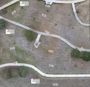
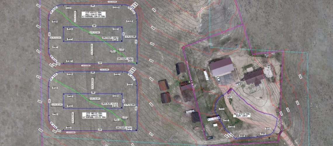
One of the types of land surveys that we offer is a topographical survey. If you are building a new structure on your property, or improving it in some way, you may be interested in a topographical survey. This differs from other types of surveys because it measures the elevation of the land’s surface. The elevations of a site are depicted on a survey map using contour lines that represent the surface, as well as spot elevations that are labeled at various points.
At LSI, we use either ground-based methods (GPS and EDM) or aerial methods (UAV/drone) to collect topography data, or sometimes a combination of both. In addition to the elevation data, all existing ground features, infrastructure, and utilities are surveyed in as well so that our drafters can create a full layout of existing features.
We can then either send the data to an engineer for the design process, or our in-house drafter can use the data to create a conceptual plan. For example, we often develop grading plans for oil well pads. Knowing the topography allows us to create a pad facility layout and grading plan for our client, and this tell us if there is a need to bring in dirt or move dirt to adjust the grade of the site. A good grading plan will effectively manage drainage on the well pad and create a flat area for drilling. Our drawings specify the projected Cut and Fill quantities in cubic yards. This tells the earthworks contractor how much soil will be displaced during grading.

Aside from oil and gas companies needing topographic surveys, there are reasons why a person may be interested in these types of surveys. Other reasons to do a topographic survey include new construction or remodeling projects on a home, adding new structures to your property, road and bridge design or improvements, and other grading or drainage projects. Hiring a professional surveyor to conduct a topographic survey prior to a real estate transaction or the start of a construction project will ensure that the land’s features will be suitable for the project you have in mind.
In summary, a topographic survey will determine the existing conditions and elevation of a site. These types of surveys can be used as a tool to create accurate plans that are suitable for the property’s conditions. Remember, a land survey is always the FIRST step in any successful project!


